FEMA Elevation Certificates & LOMA
Lender says you need flood insurance? Building department wants an elevation certificate? Contour Survey measures the building against the flood map, certifies the elevations under PLS 9686, and files the Letter of Map Amendment when the numbers show you are above the flood.
(510) 543-2220 · certificates from $1,000 · send the address and we check the flood zone first
Contour Survey is a private, licensed surveying firm. We are not FEMA and are not affiliated with FEMA or any government agency. You can apply to FEMA for a Letter of Map Amendment yourself, and FEMA charges no fee to review it. Most requests need elevation data certified by a licensed surveyor or engineer, which is the part we provide. See FEMA's LOMA page.
Measured Elevations, Signed by a Licensed Surveyor
- Signed and sealed by a California Professional Land Surveyor
- Completed on FEMA Form FF-206-FY-22-152, with the required photographs
- Elevations tied to a published benchmark on the flood map’s vertical datum
- eLOMA submission as a licensed professional when the building qualifies
- Construction-stage ECs for permits: construction drawings, building under construction, and finished construction
- Sacramento region, Central Valley, Delta, and Bay Area
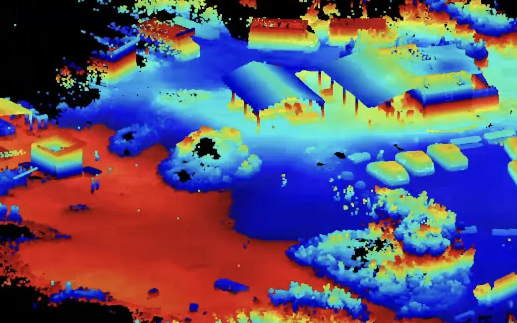
Flood Elevations
The building measured against the flood map, not guessed from it.
Lowest floor, adjacent grade, and machinery tied to a published benchmark on the FIRM datum, certified on the FEMA form.
Why People Call Us for an Elevation Certificate
Almost every call starts with a letter from a lender, an insurer, or a building department.
Your lender requires flood insurance
The building is mapped in a Special Flood Hazard Area, so a federally backed mortgage comes with mandatory flood insurance. If the ground at the building is actually at or above the Base Flood Elevation, the certificate is the first step toward a LOMA that removes the requirement.
Your insurance agent asked for one
FEMA estimates your first floor height from its own data. A certificate gives the insurer measured elevations instead, and it may lower the premium. Ask your agent to run the numbers both ways.
Your building permit requires one
New buildings and substantial improvements in a mapped flood zone are checked against the local floodplain ordinance. Many building departments want a certificate when the floor is set and another at finished construction.
You are buying or selling
An escrow is a bad time to discover a flood zone problem. A certificate, or a LOMA already on file, answers the question for the buyer, the lender, and the insurer before the contingency period runs out.
You think the flood map is wrong
Flood maps are drawn at a scale that cannot see individual pads and raised foundations. When the building sits higher than the map suggests, a surveyed LOMA is how the map gets corrected for your property.
The map just changed
Levee work, new studies, and remaps move properties in and out of flood zones across the Sacramento Valley, the Delta, and the bay shore. A new map can mean a new insurance requirement, or a new chance to get out of one.
Elevation Certificate vs. LOMA
People often ask for a "FEMA certificate" or a "flood letter" and mean one of two different things. The Elevation Certificate is a measurement. It records the building's flood zone, the Base Flood Elevation, and the measured elevations of the lowest floor, the next higher floor, the ground around the building, and the lowest machinery. It does not change your flood zone. Insurers use it to rate the policy and building departments use it to check compliance.
A Letter of Map Amendment (LOMA) is FEMA's decision. When a building shown inside the Special Flood Hazard Area actually sits at or above the Base Flood Elevation, measured at the lowest adjacent grade (the lowest ground touching the structure), FEMA can amend the map for that property. With the LOMA in hand, the lender can remove the federal flood insurance requirement. FEMA charges no review fee for a LOMA. Licensed surveyors can submit qualifying requests through eLOMA, where a determination can come back within minutes.
The survey work for both is the same, so we do it once. You get the certificate either way, and if the lowest adjacent grade clears the Base Flood Elevation we tell you and prepare the LOMA. If the ground was raised with fill, the request is a LOMR-F instead, which is a different FEMA process with its own fee. We explain which applies before you spend anything on it.
How We Measure It
A certificate is only as good as its benchmark. The flood map states the Base Flood Elevation on a specific vertical datum, and the building elevations have to be on that same datum or the comparison is meaningless. We tie the site to a published benchmark with GNSS and carry the elevations to the building with a Trimble S3 total station, so every number on the form traces back to a monument someone else can check.
At the building we measure what the form asks for: the top of the bottom floor (including a basement or crawlspace floor), the top of the next higher floor, the garage slab, the lowest and highest adjacent grade, the lowest machinery and equipment serving the building, and the number and size of any flood openings. We photograph each side of the building, as FEMA requires, and record the building diagram number that matches its construction.
The finished certificate is signed and sealed under PLS 9686. If you also need the building or pad certified for a permit, see pad certification and construction certification surveys. For a full site base map with contours, see topographic surveys.
What You Receive
A signed certificate you can forward, and the LOMA when the building qualifies.
Signed Elevation Certificate
The FEMA Elevation Certificate form, FF-206-FY-22-152, completed for your building, signed and sealed by a California Professional Land Surveyor, with the required photographs of each side of the building. Delivered as a PDF you can forward to your agent, lender, or building department.
Flood map findings
The FIRM panel, flood zone, Base Flood Elevation, and vertical datum used, so everyone reading the certificate starts from the same facts.
LOMA package, when it qualifies
If the lowest adjacent grade is at or above the Base Flood Elevation, the LOMA request with the elevation data FEMA needs, submitted by us. Qualifying single-structure requests go through eLOMA as a licensed professional.
Construction-stage certificates
For new construction and substantial improvements: certificates based on construction drawings, at building under construction, and at finished construction, coordinated with your builder and the inspection schedule.
Our Process
Flood map first, benchmark second, building third.
Address & Flood Map Check
Send the address and the reason you need the certificate: lender letter, insurance quote, building permit, or a LOMA. We pull the effective FIRM panel, flood zone, and Base Flood Elevation before quoting, and tell you up front if a LOMA looks possible.
Benchmark Tie
We tie the site to a published benchmark on the vertical datum the flood map uses, with GNSS and a total station. Every elevation on the certificate is measured from that tie, not estimated from a contour map.
Building Measurement
We measure the top of the bottom floor, the next higher floor, the garage slab, the lowest and highest adjacent grade, the lowest machinery and equipment, and the flood openings, and take the photographs the form requires.
Signed EC, and the LOMA if It Qualifies
You receive the completed, signed Elevation Certificate as a PDF. If the lowest adjacent grade is at or above the Base Flood Elevation, we prepare the LOMA request and submit it to FEMA, through eLOMA when the building meets its criteria.
Service Area
Contour Survey is based in Lotus, in El Dorado County, and takes elevation certificate and LOMA work within about three hours of Sacramento. That covers the Sacramento region and its levee basins, Yuba and Sutter counties, the San Joaquin Valley from Lodi to Fresno, the Delta, Solano and Napa counties, Marin and Sonoma, the East Bay shoreline, the Peninsula, the South Bay, and the Monterey Bay area. We work in California only. Your city's page below covers the local flood sources and rules.
Elevation Certificate & LOMA FAQ
Common questions from homeowners, buyers, builders, and insurance agents.
Elevation Certificates Across Northern California
Local conditions, permitting, and county recording differ city to city — see how we handle elevation certificates where your project is:
Send Us the Address
Elevation certificates start at $1,000. We check the flood map, tell you whether a LOMA looks possible, and confirm the price and field date before any work starts. (510) 543-2220 · info@contour-survey.com
Homeowners welcome • Flood map checked before you pay • Response within 24 hours