Parcel Maps & Lot Line Adjustments
Lot splits, lot line adjustments, and mergers under the Subdivision Map Act — handled by a licensed land surveyor from feasibility through final map recordation.
From Feasibility to the County Recorder
Parcel maps, lot line adjustments, and lot mergers under the California Subdivision Map Act for East Bay property owners and developers. A parcel map is the legal instrument for dividing land into four or fewer parcels — the most common path for splitting a residential lot, carving off a flag lot, or reconfiguring boundaries between neighbors. We handle the complete process: boundary resolution, tentative map preparation, coordination through city and county surveyor review, satisfaction of conditions of approval, and final map recordation with the county recorder. Because we laser-scan the site as part of the fieldwork, the same mobilization produces the topographic base map most jurisdictions require with the tentative map application — one visit, two required products.
- Complete Subdivision Map Act compliance
- Tentative through final map recordation
- Lot line adjustments and lot mergers
- City and county surveyor review coordination
- Scan-based topo included in the same mobilization
- Boundary resolution by a licensed land surveyor
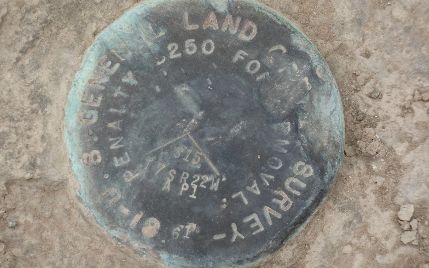
Parcel Mapping
Parcel maps and lot splits built on resolved boundaries.
Boundary resolution, agency coordination, and map preparation from feasibility through recordation.
Which Instrument Do You Need?
Parcel map — dividing land into 4 or fewer parcels
Tract map — subdivisions of 5 or more parcels
Lot line adjustment — moving a boundary between existing parcels
Lot merger — combining adjacent parcels into one
Feasibility & Boundary Resolution
We research title, resolve the existing boundary, and confirm your split or adjustment complies with local zoning minimums before you spend on applications.
Tentative Parcel Map
We prepare the tentative map and supporting topographic base, and submit through the city or county planning process.
Conditions of Approval
After approval, we coordinate the survey-related conditions — monumentation, easements, dedications — alongside your civil engineer where improvements are required.
Final Map & Recordation
We prepare the final parcel map, carry it through county surveyor examination, set the required monuments, and record the map with the county recorder.
Parcel Maps FAQ
Boundary Determination
Establish clear, legally defensible property boundaries with a licensed Bay Area boundary surveyor — including difficult boundaries on hillside lots, irregular parcels, post-1906 SF blocks, fire-rebuild areas, and properties with conflicting record evidence.
Subdivisions
Navigate the complex subdivision process with expert guidance.
Condo Conversions
Convert existing buildings into condominium ownership with 3D laser scanning, accurate interior and exterior as-builts, and boundary coordination.
Parcel Maps Across Northern California
Local conditions, permitting, and county recording differ city to city — see how we handle parcel maps where your project is:
Thinking About Splitting a Lot?
Start with a feasibility check — we'll confirm zoning minimums and map out the realistic path and timeline before you spend on applications.
Meeting-first estimates • Response within 24 hours • Serious projects only