Boundary Determination & Difficult Boundary Surveys
Establish clear, legally defensible property boundaries with a licensed Bay Area boundary surveyor — including difficult boundaries on hillside lots, irregular parcels, post-1906 SF blocks, fire-rebuild areas, and properties with conflicting record evidence. We research historical records, locate existing monuments, set durable markers, and prepare Records of Survey or Corner Records when needed for permanent public record protection.
Bay Area Boundary Surveying for Property Line Decisions
Boundary surveying is not just measuring a fence or dropping pins from an online map. A defensible boundary survey depends on record research, deed interpretation, monument recovery, field evidence, professional judgment, and the right public-record documentation when a Record of Survey or Corner Record is required.
Contour Survey supports Bay Area and Northern California owners, attorneys, developers, architects, and property teams that need property line surveys, encroachment analysis, boundary dispute support, or recorded survey documentation.
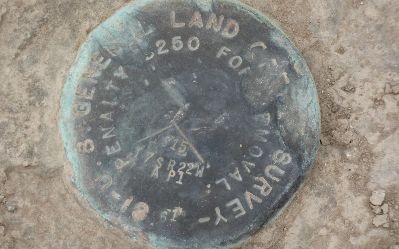
- Difficult boundary, hillside, and irregular lot expertise
- Every survey filed with the county
- Permanent legal protection on public record
- Research of historical deeds and records
- Professional monument setting
- Court-admissible documentation
Recorded Boundary Work
Boundary decisions backed by records, monuments, and field evidence.
Useful before design, construction, purchase decisions, neighbor disputes, and legal exposure.
When a boundary survey matters
- Buying, selling, developing, or refinancing a property with unclear lines.
- Designing improvements near setbacks, easements, fences, or neighboring occupation.
- Resolving encroachments, fence conflicts, driveway issues, or title questions.
- Preparing evidence for attorneys, mediation, expert review, or litigation support.
Licensed boundary surveyor, not a quick-line estimate
Search results for "boundary surveyor near me" often mix licensed professional surveyors with lead forms and generic property services. This work needs a California Professional Land Surveyor who can evaluate the record, recover physical evidence, explain the uncertainty, and prepare documentation that can stand up later.
If your project is serious enough to affect construction, acquisition, title, neighbor relations, or legal exposure, book a scope meeting so the survey approach can be matched to the actual risk.
Our Process
A systematic approach ensures accurate, reliable results.
Research & Analysis
We thoroughly research county records, historical maps, and existing surveys to understand your property's boundary history.
Field Survey
Our licensed surveyors conduct precise measurements and search for existing monuments on and around your property.
Monument Setting
We set durable markers at critical boundary points and prepare legal documentation.
County Recording
Records of Survey or Corner Records are filed with the county recorder's office, becoming part of the permanent public record for your property's legal protection.
Boundary Determination FAQ
Common questions about our boundary determination services.
Related Services
Other services that complement boundary determination.
Dispute Mediation
Resolve property line disagreements professionally with a certified mediator who is also a licensed land surveyor.
Learn MoreSite Plan Surveys
Stamped site plan surveys, boundary + topographic base maps, and existing-condition documentation for Bay Area permit submittals.
Learn MoreFence Surveys
Ensure your fence is built in the right location with a professional property line survey.
Learn MoreNeed a Boundary Determination?
Tell us what decision depends on the boundary, and we will recommend the right research, field, documentation, and recording path.
Meeting-first estimates • Response within 24 hours • Serious projects only