ADU Surveys & Site Plans for Permit Applications
The survey work your ADU permit actually needs — scaled site plan, verified property lines, and slope data — delivered before your designer draws a single wall.
Start Your ADU on Solid Ground
Pre-construction surveys for accessory dwelling units across the East Bay — the scaled site plan, boundary verification, and topographic data Bay Area cities require before an ADU permit application is accepted. California law makes ADU approval ministerial with 4-foot side and rear setbacks, but those setbacks are measured from your true property line, not your fence — and every city's checklist starts with a site plan drawn to scale showing property lines, existing structures, easements, and utilities. We deliver a surveyor-prepared base map your designer builds directly on, staked property corners so the 4-foot setback is real, and 1-foot contours where sloped lots or city checklists demand them.
- Scaled site plan base map matching city ADU checklists
- Boundary verification — 4-ft setbacks measured from the true line, not the fence
- Property corners staked for design and construction
- 1-foot contours and drainage data for sloped lots
- Easement and utility locations from record research
- CAD-ready DWG base file your designer builds on directly
- Foundation form verification when the inspector requires it

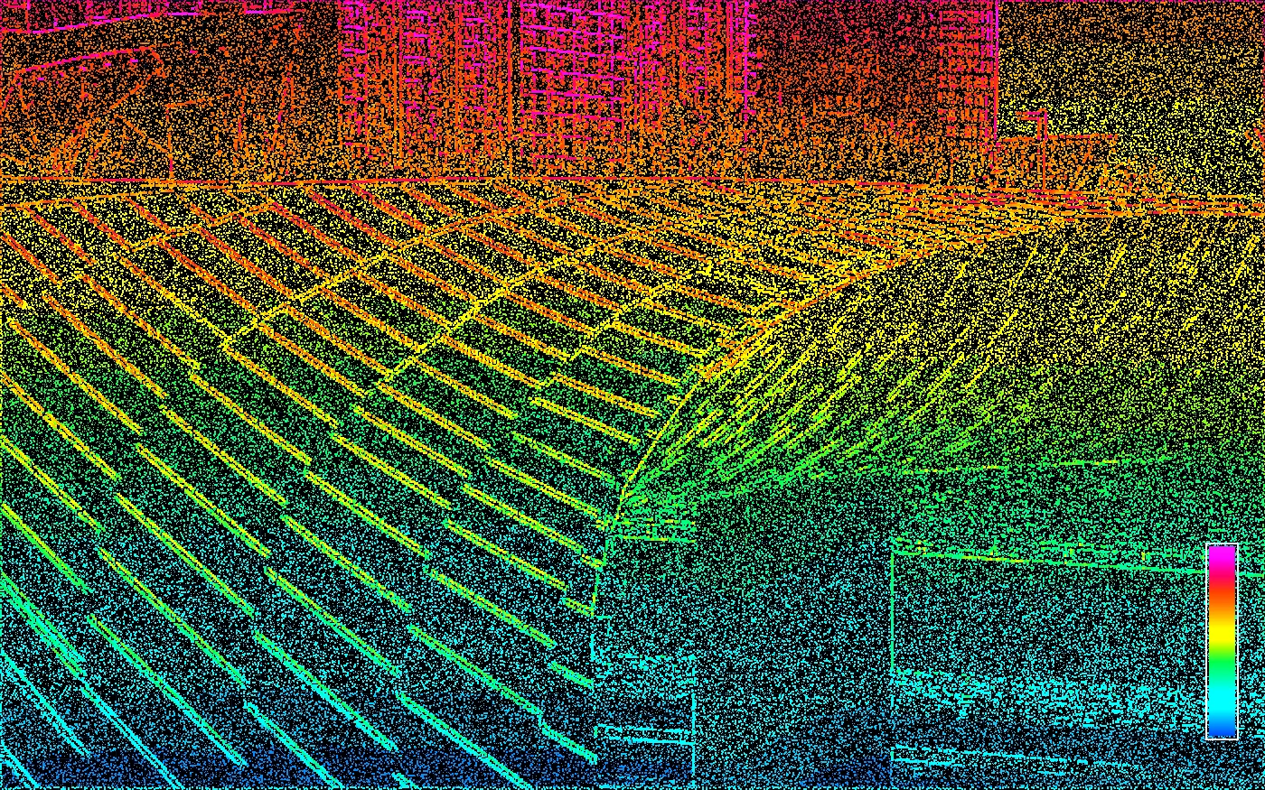
Reality Capture
Point clouds that become usable project files.
High-density scan data supports CAD, BIM-ready modeling, field verification, and existing-condition coordination.
Typical Deliverables
Stamped site plan base map to your city's ADU checklist
Layered DWG/DXF file your designer draws on directly
Staked property corners at the ADU footprint
1-foot contours, spot elevations & drainage data where required
Why ADU Projects Fail at the Property Line
State law lets you build an ADU just 4 feet from your side and rear property lines — which means most East Bay ADUs are designed right up against the setback. That only works when the line itself is known. Three problems show up over and over:
The fence is not the line
In East Bay neighborhoods platted a century ago, fences routinely sit a foot or more off the legal boundary. Design a 4-foot setback from the wrong line and the error surfaces at final inspection — after the foundation is poured.
The checklist wants real data
City ADU checklists require the lot drawn to scale with property line dimensions, setbacks, easements, and utilities. Some are explicit: Fremont requires a boundary survey when an ADU sits within 24 inches of a minimum setback, and Pleasanton wants 1-foot contours for detached units.
Slopes change everything
On hillside lots in Oakland, Berkeley, and Lamorinda, grading, drainage, retaining walls, and foundation design all hang on accurate existing-ground contours — and hillside plan checkers know the difference between measured and guessed.
Checklist Review
We confirm your city's ADU submittal requirements — site plan content, survey triggers, slope and drainage items — so the survey is scoped to what plan check will actually ask for.
Boundary & Records Research
We research your deed, recorded maps, and easements, then locate existing monuments to establish where your property lines actually are.
Site Survey
One laser-scanned site visit captures structures, hardscape, trees, utilities, and terrain — spot elevations and contours included where the lot slopes or the city requires them.
Deliverables
You receive a stamped site plan base map and layered DWG file sized to your city's checklist, with property corners staked on the ground for your designer and builder.
ADU Surveys FAQ
Boundary Determination
Establish clear, legally defensible property boundaries with a licensed Bay Area boundary surveyor — including difficult boundaries on hillside lots, irregular parcels, post-1906 SF blocks, fire-rebuild areas, and properties with conflicting record evidence.
Site Plan Surveys
Stamped site plan surveys, boundary + topographic base maps, and existing-condition documentation for Bay Area permit submittals.
Topographic Surveys
Survey-grade topographic mapping for East Bay and Bay Area properties, captured with a Trimble terrestrial laser scanner (TLS).
ADU Surveys Across the Bay Area
Local conditions, permitting, and county recording differ city to city — see how we handle adu surveys where your property is:
Planning an ADU?
Send us your address and city — we'll confirm what your ADU checklist requires and quote the survey scope that gets your application accepted the first time.
Meeting-first estimates • Response within 24 hours • Serious projects only