Floor Level Survey
If your structural engineer told you to have a floor level survey performed by others and sent to them, that is us. Contour is a licensed land surveying firm under PLS 9686, not a foundation-repair company. We measure the floor and hand you and your engineer the numbers.
An Independent Measurement, Not a Repair Pitch
- Performed under a California Professional Land Surveyor
- We sell no foundation repairs, so nothing biases the numbers
- Floor elevations tied to a site benchmark and survey control
- Contoured floor elevation map plus point data your engineer can use directly
- Repeatable epochs when settlement has to be tracked over time
- Single unit, whole building, and multi-building HOA work
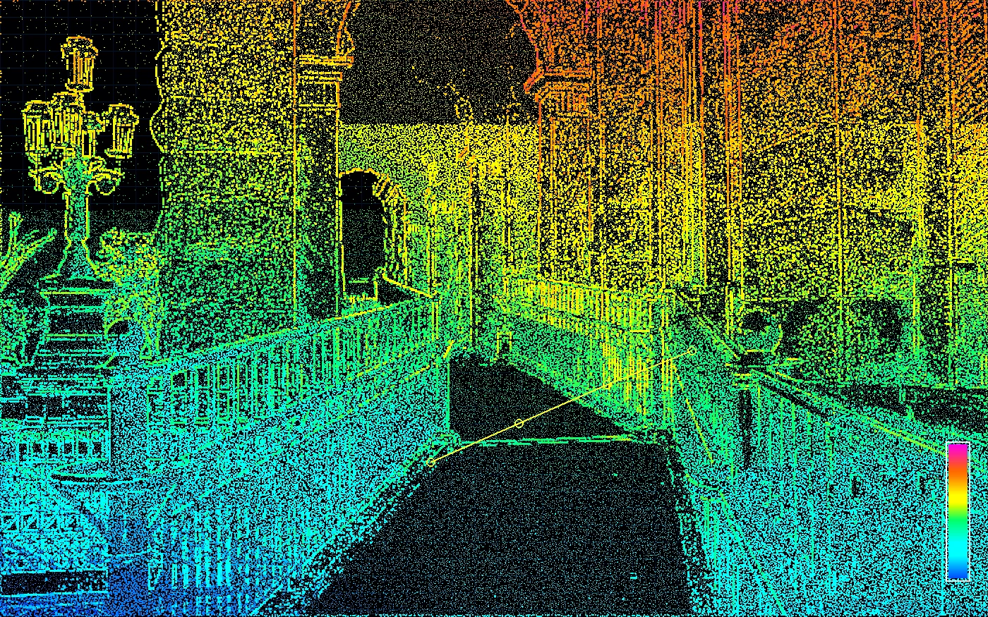
Floor Elevation Map
Relative floor elevations your structural engineer can analyze.
Grid elevations on one datum, contoured to show differential movement across rooms, units, and buildings.
What a Floor Level Survey Is
A floor level survey records the elevation of a floor at a grid of points, every point on the same datum, so differential movement across the structure can be quantified. It answers one question precisely: how much higher or lower is any part of this floor than any other part, right now. The deliverable is a contoured floor elevation map plus the point data behind it.
What it is not is a diagnosis. A floor level survey does not say why a building moved, whether it is still moving, or what should be done about it. Those are engineering conclusions, and they belong to your structural engineer. Our job is to hand that engineer a measurement clean enough to analyze, which is exactly why structural proposals so often exclude the survey and require it from an independent party.
Why Survey-Grade, and Why Independent
The common alternative is a manometer or water-level floor survey. The physics is sound, but two things usually go wrong with it in practice. The measurements float on an arbitrary reference instead of a benchmark, so a second visit cannot be reliably compared to the first and one building cannot be compared to another. And the survey is very often performed by the company that also sells piers.
We work the other way. A benchmark and control are established first, so every room, unit, and building on the site lands on one datum. Elevations are observed with survey instruments, loops are closed, and independent check points that were not used to establish the surface are observed to prove the work. The closures and residuals go in the report instead of being asserted. A second epoch months or years later returns to the same control, which is what makes movement measurable rather than a matter of opinion.
Grid spacing, the units and vertical datum, and which floors and units are included are set in writing when we scope the job, normally straight from the engineer's requirements. Where a building is badly out of level or heavily obstructed, we add shots at doorways, wall lines, slab joints, and visible cracks so the map shows the breaks and not just a smooth interpolation. For programs that track movement on an interval see deformation monitoring; when the same visit should also capture the building itself see as-built surveys and 3D laser scanning.
Accuracy in this work has three layers and only the third one decides whether the survey is useful. Instrument accuracy is what the equipment achieves on a single observation, and any professional instrument is capable. Registration accuracy is whether the observations agree with each other across the whole floor. Control accuracy is whether they agree with a benchmark, with the building next door, and with the survey somebody runs here next year. We observe with a Trimble S3 total station and, where full-surface geometry is wanted, a Trimble X9 scanner, process in Trimble Business Center, and report elevations relative to project survey control. We hold relative control to better than 0.01 US survey feet on a floor level survey, and on a site where the control is good we are typically inside 0.005 feet. Elevations are reported to the hundredth of a foot. The achieved closures and the check-point residuals go in the report rather than being asserted, because a stated tolerance nobody can verify is worth nothing to a reviewing engineer.
Because we perform no foundation repair and are affiliated with no repair contractor, there is nothing in the result for us either way. That independence is usually the reason an engineer, an HOA board, or an insurer wanted a surveyor in the first place.
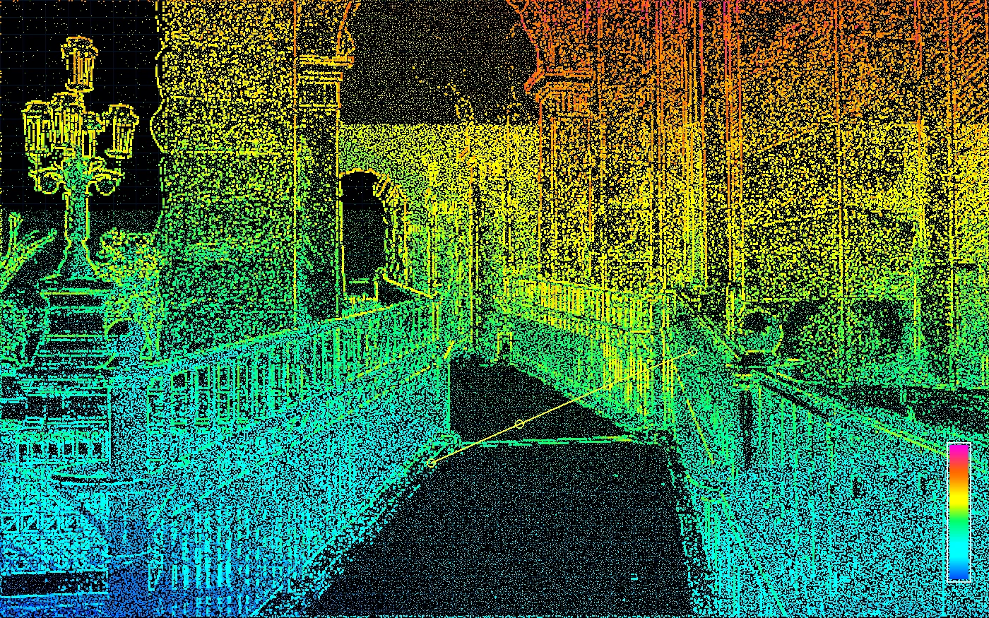
What You Receive
Formats matched to the analysis your engineer is actually running.
Floor elevation map
A plan of each measured floor with the observed elevations posted at every grid point and contoured so the shape of the floor reads at a glance. High and low areas, and the slope between them, are visible without doing arithmetic.
Point data
The measured points in the format your engineer works in, typically a point file with number, northing, easting, elevation, and description, plus a CAD drawing. We match the format to the analysis rather than forcing a PDF on you.
Stamped report
A short report signed by a California Professional Land Surveyor stating the control basis and benchmark, the vertical units, the instrumentation and method, the grid spacing used, and the loop closures and check-point residuals achieved.
Comparison to a prior epoch
Where a baseline exists, whether ours or another surveyor’s, we can re-observe on the same control and deliver a difference surface showing what changed and by how much between the two dates.
Who Orders a Floor Level Survey
Most of this work arrives because a report asked for it.
Structural & civil engineers
A site observation or distress report almost always calls for a floor level survey performed by others and furnished to the engineer. We scope from your report, deliver to you directly, and stay out of the repair recommendation entirely.
HOAs & property managers
Boards responding to a distress report need one number set that covers every unit and building on the same datum, produced by a party with nothing to sell. We coordinate a single access window with the manager and measure common areas, garages, and slabs on the same visit.
Owners & buyers
Sloping floors, sticking doors, and stair-step cracks are worth measuring before anyone quotes a repair. A floor level survey turns "it feels off" into a number, and gives you a baseline to compare against later.
Attorneys & insurers
Construction defect, adjacent-excavation, and damage claims rest on measurement that survives scrutiny. Our work is performed under a California Professional Land Surveyor, on documented control, with the closures stated in the report.
Contractors & repair firms
If you perform foundation work and need the measurement to come from someone other than yourself, we are the independent third party. We measure and report. We never bid the repair.
Architects & design teams
Renovations of an out-of-level building need the real floor surface before framing, flooring, or accessibility details are drawn. The same field visit can pick up as-built geometry and produce a CAD base.
Our Process
Control first, then the grid, then a report that says what was achieved.
Scope From the Report
Send us the structural report or the engineer's scope. We confirm which floors and units are included, the grid spacing the engineer wants, and whether exterior grade, slab edges, or adjacent buildings need to be tied in.
Control & Benchmark
We establish a site benchmark and control so the floor elevations are on one datum across every room, unit, and building. On multi-building HOA sites that is what lets the engineer compare structures to each other.
Field Measurement
Elevations are observed on a grid across each floor with survey instruments, with extra shots at doorways, walls, slab joints, and visible cracks. Loops are closed and independent check points are observed so the work can be verified, not assumed.
Map, Data & Stamped Report
You receive a contoured floor elevation map, the point data in the format your engineer wants, and a stamped report stating the control basis, units, method, and the closures achieved.
Service Area
Contour takes floor level survey work across Northern California, roughly within three hours of Sacramento. That covers the San Francisco Bay Area, the Peninsula and South Bay, the Sacramento region, the northern Central Valley, and the Sierra foothills. We mobilize for a single unit and for multi-building HOA sites, and we will travel for a portfolio.
Floor Level Survey FAQ
Common questions from engineers, HOA boards, and owners.
Related Services
For the stamped surveys required during construction, see our construction certification surveys.
3D Scanning
Capture existing conditions once and give every stakeholder a reliable source of truth.
Learn MoreDeformation Monitoring
Survey-grade deformation and settlement monitoring for distressed structures, buildings adjacent to excavation and shoring, retaining walls, and moving slopes.
Learn MoreAs-Built Surveys
Accurate as-built documentation of existing buildings and sites, captured with a Trimble terrestrial laser scanner and delivered as 2D CAD drawings, Revit models, or registered point clouds.
Learn MoreFloor Level Surveys Across the Bay Area
Local conditions, permitting, and county recording differ city to city — see how we handle floor level surveys where your property is:
Send Us the Engineer's Report
Forward the structural report or scope and we will confirm grid spacing, floors, access, and turnaround, then schedule the field work. (510) 543-2220 · info@contour-survey.com
Meeting-first estimates • Response within 24 hours • Serious projects only