TRPA Land Coverage & Site Assessment Surveys
At Lake Tahoe, the square footage you can cover with a house, a deck, or a driveway is set by TRPA, and the coverage you already have is worth real money. Contour Survey measures it, maps the land, and prepares the licensed site plan your site assessment, land capability verification, or IPES application needs, under PLS 9686.
(510) 543-2220 · send the APN and we check the TRPA record first
Contour Survey is a private, licensed surveying firm, not TRPA, and is not affiliated with TRPA, the City of South Lake Tahoe, or El Dorado County. TRPA and its permitting partners make coverage, land capability, and IPES determinations. We prepare the survey and site plan they review. See TRPA's site assessment application.
A Site Plan TRPA Can Verify Against
- Site plans built to TRPA’s site assessment and land capability checklists
- Existing coverage measured on the ground, broken out by type, with 3:1 overhang reductions
- Two-foot contours, trees over 14 inches dbh, rock outcrops, and lakefront high and low water lines
- Coverage math before you design: base allowable, legally existing, and any shortfall
- Jurisdiction sorted first: TRPA, the City of South Lake Tahoe, or El Dorado County
- Fieldwork scheduled around snow so the application is not stuck on a winter hold
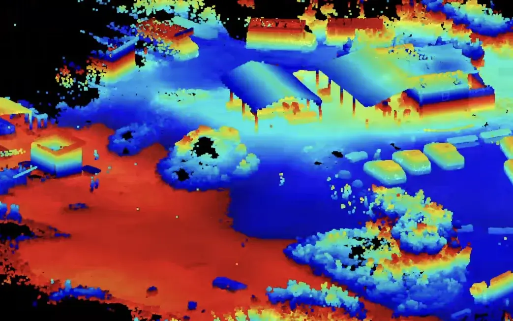
TRPA Site Plan
Every square foot of coverage, measured and mapped.
Property lines, existing coverage by type with 3:1 overhang reductions, two-foot contours, trees, and rock, on one stamped plan.
Site Assessments, Land Capability, Coverage, and IPES
Four TRPA reviews that people often mix up. Each one answers a different question, and each needs an accurate plan of the parcel.
Site assessment
Verifies land capability, existing coverage, and development rights for a single-family home. A full assessment covers all three (for homes built before 1987); a partial one covers coverage and development rights when capability is already verified.
Typical use: Remodels, additions, and rebuilds of existing homes
Land capability verification
Field-checks the parcel’s land capability class, which sets its base allowable coverage. A field verification can reclassify land only on slope; reclassifying by soil needs a land capability challenge.
Typical use: Parcels where the mapped class looks wrong, or before buying coverage
Coverage verification
Confirms how much existing coverage TRPA recognizes as legally existing, including coverage above the base allowance.
Typical use: Multi-family, commercial, banking, or transfers (through TRPA’s verification and banking application)
IPES evaluation
Scores a residential parcel that was vacant in July 1987 or later. TRPA issues the base allowable coverage percentage with the score.
Typical use: Vacant residential lots
Not sure which one you need? Read when you need a TRPA site assessment and what an IPES score means.
Land Capability Sets the Limit. Coverage Is What's There.
Land capability is a rating of the land. TRPA's system, from the 1974 Bailey report, ranks ground from Class 1 to Class 7 based on soil type and slope, and each class carries a base allowable coverage: the share of the parcel that may be covered. Stream environment zones are treated as Class 1b. TRPA's code prohibits additional coverage in Classes 1 through 3, with limited exceptions.
Coverage is what is on the ground. Hard coverage is buildings, decks, and pavement. Soft coverage is compacted ground with no structure on it, such as a dirt parking pad or a worn path. Verifying coverage means measuring every piece of it and deciding which pieces TRPA recognizes. A parcel can have more existing coverage than its land capability allows, and that excess can still be legal.
| Land capability class | Base allowable coverage | Notes |
|---|---|---|
| 1a, 1b, 1c | 1% | Most sensitive. 1b is stream environment zone (SEZ). |
| 2 | 1% | High hazard; additional coverage generally prohibited. |
| 3 | 5% | Additional coverage generally prohibited. |
| 4 | 20% | Moderate. |
| 5 | 25% | Moderate to low. |
| 6, 7 | 30% | Least sensitive. |
Source: TRPA Code of Ordinances, Table 30.4.1-1 and §30.5.
Run your own numbers with the TRPA coverage calculator.
Legally Existing Coverage: The 1972 and 1986 Dates
TRPA's site assessment application describes legally existing coverage as coverage created before February 10, 1972, or created after that date with a permit and still on the site on October 15, 1986. El Dorado County puts it the same way: coverage "either created before February 10, 1972, or permitted and present on-site by October 15, 1986."
That matters most on older cabins. A 1960s cabin with a big gravel driveway and an old deck may have far more coverage than its land capability would allow a new house. If the site assessment verifies that coverage as legally existing, it stays with the parcel. It can be kept, relocated on the parcel when TRPA finds the new spot equal or better, or banked or transferred. Proving it takes evidence: the assessor's original property record card (TRPA does not accept printouts from the internet), permits, aerial photos, and a site plan that shows each piece of coverage and its area.
The site plan is our part. TRPA asks for a 24 x 36 plan prepared by a licensed professional showing all existing development, coverage calculations broken out by type, overhangs reduced at 3:1, two-foot contours, trees over 14 inches in diameter, rock outcrops, and, on the lake, the high and low water lines. We measure it on the ground and stamp it.
How Coverage Rights Get Lost, and What They Cost to Replace
- It was never verified. Coverage TRPA cannot verify as legally existing gets no credit, no matter how long it has been there.
- It was torn out first. Removed coverage keeps its value only when the owner follows TRPA's banking steps: restoring the site to a natural or near-natural state and providing for its upkeep. Clearing a driveway or demolishing a deck before verification can leave nothing to bank.
- A fire rebuild missed the deadline. After a fire or other calamity, a rebuild application has to be filed within 18 months, or TRPA treats the structure as derelict rather than existing.
Replacing coverage is expensive. On the California Tahoe Conservancy's price list (prices updated December 1, 2025), potential coverage for Bailey 4–7 or IPES 726+ parcels in the South Stateline and Upper Truckee hydrologic areas is $7.50 per square foot. For more sensitive receiving parcels it is $25.00 per square foot, and SEZ restoration credit is $30.00. The Conservancy adds a $350 administrative fee and a $755 escrow fee per transaction. Where verified existing coverage already exceeds the base allowance, a project may instead owe TRPA's excess coverage mitigation fee, $8.50 per square foot of computed reduction in these hydrologic areas under the January 20, 2026 fee schedule.
Put a number on it: 500 square feet of driveway that could have been verified is worth $3,750 at the lowest land bank price, and $12,500 at the sensitive-parcel price. That is before TRPA's cap on how much coverage a parcel can reach through transfers, which may mean the coverage cannot be bought back at all.
Snow Timing
Coverage, contours, and property corners have to be measured on bare ground, and so does the verification. El Dorado County says site assessment visits cannot be done when there is snow on the ground, so an application filed late in the year can sit on a snow hold until spring. Then construction has its own window: TRPA's grading season runs May 1 through October 15, and soil cannot be disturbed when a site is snow-covered or saturated even inside that window.
The schedule that works: survey in summer, file by early fall, get the verification done before snow, and design over the winter so you are ready to build when the grading season opens. Our office is in Lotus, and we come up US 50 through Placerville, so we book Tahoe field days as planned trips and fill the summer calendar early.
TRPA, the City, or El Dorado County?
TRPA has permit delegation agreements (MOUs) with the City of South Lake Tahoe, El Dorado County, and Placer County, so where you file depends on where the parcel is. Per TRPA's site assessment application:
- Unincorporated El Dorado County (Meyers, Christmas Valley, Tahoe Paradise, Fallen Leaf): site assessments are filed at the county building department, and a county building inspector does the field verification.
- City of South Lake Tahoe: site assessments are filed with TRPA. The City issues permits for new homes and additions.
- Any lakefront property: filed with TRPA, wherever it is.
- Banking not tied to a project, coverage transfers, and conversions: TRPA.
Tahoma straddles the El Dorado–Placer county line, so we check the APN before telling you which county applies. We work on the California side of the basin only. Contour Survey is licensed in California, and our work stops at the state line.
Our Process
TRPA record first, bare ground second, stamped plan third.
Parcel & Records Check
Send the APN or address. We look the parcel up on TRPA’s Parcel Tracker for an IPES score, past verifications, and permits, confirm whether it is in the City of South Lake Tahoe or unincorporated El Dorado County, and tell you which application you need.
Boundary & Field Survey
On bare ground, we locate the property lines and every piece of existing coverage: roofs and overhangs, decks, driveways, walks, patios, and compacted dirt or gravel. We also take topography for two-foot contours and locate trees over 14 inches and rock outcrops.
Site Plan & Coverage Table
You receive a stamped 24 x 36 site plan that follows TRPA’s checklist, with a coverage table broken out by type of coverage, overhang reductions applied, and the base allowable coverage computed from the parcel area.
Application Support
The plan goes with your site assessment, land capability verification, or IPES application. If TRPA or the county inspector asks a question about the plan, we answer it.
TRPA Land Coverage FAQ
Common questions from Tahoe owners, buyers, designers, and realtors.
Tahoe Coverage & Buildability Resources
Guides, a calculator, and survey services for TRPA land coverage on the California side of the basin.
Related Services
Site Plan Surveys
Stamped site plan surveys, boundary + topographic base maps, and existing-condition documentation for Bay Area permit submittals.
Learn MoreTopographic Surveys
Survey-grade topographic mapping for East Bay and Bay Area properties, captured with a Trimble terrestrial laser scanner (TLS).
Learn MoreTahoe Lot Buildability
A pre-purchase buildability package for vacant residential lots on the California side of the Tahoe Basin, by a California Professional Land Surveyor (PLS 9686).
Learn MoreWorking in South Lake Tahoe? See our South Lake Tahoe surveying page.
Send Us the APN
We check the parcel on TRPA's Parcel Tracker, tell you which application you need and where to file it, and confirm the price and field date before any work starts. (510) 543-2220 · info@contour-survey.com
Owners, buyers, designers, and realtors welcome • TRPA record checked before you pay • Response within 24 hours