Setback Certification & Foundation Location Survey
We locate forms and footings against the surveyed property lines before the pour, document the as-poured foundation afterward, and certify the resulting setbacks against the approved site plan. Performed under PLS 9686 across Northern California, so a setback problem gets caught while it is still a matter of moving forms.
What a Setback Certification Is
A setback certification is a licensed surveyor's statement of where a structure sits relative to the property lines, compared against the setbacks required by the zoning and the approved site plan. A foundation location survey is the measurement underneath it: the foundation located as built and shown against the boundary. In California practice the same field visit normally produces both, and building departments ask for them together at the foundation stage.
The same measurement taken earlier, with forms set and before concrete, is what builders call a form survey or a pre-pour check. It is the same work at the only moment when the answer is still useful. Once the concrete is in, a foundation two inches into a setback becomes a variance application, a redesign, or demolition.
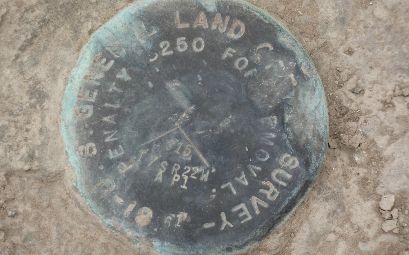
Foundation Location
Forms and footings located against the real property line.
Pre-pour form checks and as-poured foundation location, certified against the surveyed boundary.
Why the Building Department or Engineer Requires It
Zoning setbacks are the dimension a plan checker cannot verify from a drawing. The site plan asserts five feet to the side line, but nothing in the permit set proves the builder found the same line the surveyor would. So the jurisdiction pushes the verification to the field and conditions the framing inspection on a licensed surveyor's certification that the foundation, as built, meets the setbacks as approved.
On infill and tight urban lots this is routine rather than exceptional, and the reason is usually the boundary rather than the builder. Fences sit where somebody put them decades ago, older subdivision monuments go missing under paving and landscaping, and record dimensions conflict with occupation. A structure laid out from the wrong reference is off by the same amount everywhere, and the first person to notice should be the surveyor at the form check, not the inspector after the pour.
Architects and lenders ask for the same document for their own reasons, and title companies occasionally want the foundation shown relative to easements as well as lines. Tell us at scoping if easement encroachment is in question, because that changes what we research before going out.
What We Certify
Measured to the surveyed boundary, never to a fence.
Pre-pour form and footing check
Forms and footings located against the surveyed property lines and the approved site plan, before concrete. Any encroachment or shortfall is reported while the forms can still be moved, which is the only moment the fix is cheap.
As-poured foundation location
The foundation located as actually built, showing where the structure sits relative to the lines. Most jurisdictions want this on file before framing inspection is released.
Setbacks against the approved plan
Measured front, side, and rear setbacks compared to what the zoning and the approved site plan require, with the governing dimension called out rather than buried in a table.
Stamped letter and dimensioned exhibit
A certification letter signed and stamped by a California Professional Land Surveyor, with an exhibit showing the boundary, the foundation, the measured setbacks, the basis of bearings, and the control.
The boundary comes first and it is not a formality. A setback is measured from a property line, so the line has to be resolved from recovered monuments and the record before any certification means anything. Where monuments are missing or the record conflicts with occupation, that resolution is the largest part of the job and the part worth starting early. If we or another surveyor have already established the boundary, that work carries forward. See boundary determination for what that involves on difficult lots.
Where the fence and the surveyed line disagree, we show both on the exhibit. That single detail is frequently the most useful thing on the sheet, and it is the conversation an owner would rather have before the foundation than after.
Deliverables and Turnaround
You receive a stamped certification letter and a dimensioned exhibit showing the boundary, the foundation or forms as located, the measured setbacks against those required, the basis of bearings, and the control used. Where the jurisdiction publishes its own form, we complete and stamp that instead, with the exhibit attached.
Form checks are schedule-critical and we treat them that way, but the constraint is almost always the boundary rather than the form survey. Tell us early even if the pour date is not fixed. Where the boundary is already resolved, a form check is a short visit and the certification follows quickly; where it is not, the research and monument recovery set the timeline.
Often ordered with this: a pad certification survey at the grading stage, and construction staking to lay the building out correctly to begin with. See all construction certification surveys.
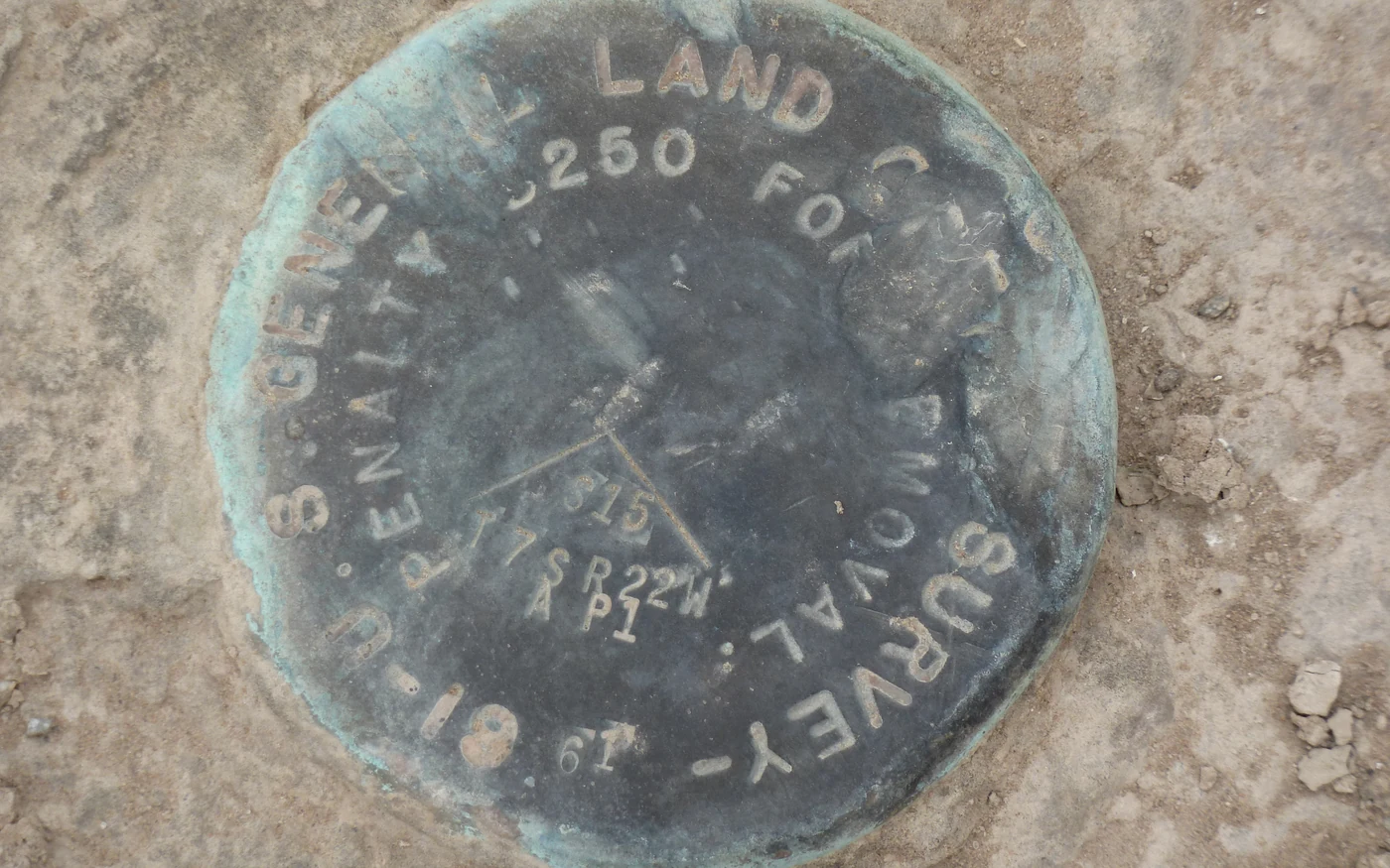
Our Process
Boundary, form check, post-pour location, stamp.
Boundary First
A setback means nothing without a property line. We recover the boundary monuments and resolve the lines from the record before anything is measured against them. On lots where the monuments are gone, this is the part that actually takes the time.
Pre-Pour Form Check
With forms set and before concrete, we locate the forms and footings and compare them to the approved site plan and the required setbacks. Any encroachment or shortfall is reported immediately, while the forms can still be moved.
Post-Pour Location
After the pour we locate the as-built foundation, so the record shows where the structure actually sits relative to the lines. Many jurisdictions require this before framing inspection.
Stamped Certification
You receive a certification letter signed and stamped by a California Professional Land Surveyor with a dimensioned exhibit showing the boundary, the foundation, the measured setbacks, and the basis of bearings and control.
Service Area
We certify setbacks and locate foundations across Northern California, roughly within three hours of Sacramento: the San Francisco Bay Area and the East Bay infill market, the Sacramento region, Placer and El Dorado counties and the Sierra foothills, and the northern Central Valley. Tight urban lots where the boundary is genuinely difficult are the work we are built for.
Setback Certification FAQ
Common questions from builders, owners, and design teams.
Related Services
Boundary Determination
Establish clear, legally defensible property boundaries with a licensed Bay Area boundary surveyor — including difficult boundaries on hillside lots, irregular parcels, post-1906 SF blocks, fire-rebuild areas, and properties with conflicting record evidence.
Learn MoreConstruction Staking
Translate design plans into precise field locations for construction.
Learn MorePad Certification
PLS-stamped building pad, rough grade, and final grade certifications across Northern California.
Learn MoreGet the Form Check Scheduled
Send the approved site plan and the pour date, even a tentative one. We will confirm what the boundary work requires and get the check on the calendar. (510) 543-2220 · info@contour-survey.com
Meeting-first estimates • Response within 24 hours • Serious projects only